Storm Station

At a river or reservoir gauge

DCP network, identified by the register

Identifier
07364130
Latitude
33.96313 N
Longitude
91.69245 W
Elevation
148 ft
Rank
-
Precipitation in the gauge's latest reading
0in

At a river or reservoir gauge

Drawn as the kind of place it stands at. 113 instruments in Arkansas stand at one.

Station charts

Deep Bayou near Star City Report

Rank
-
Schedule
every houron the hour's :15
Reports received, 24 hours
12 of 2450.0% of its schedule, 13 reports in all
Reports received, 7 days
12 of 1687.1% of its schedule, 13 reports in all
Days reported, 30 days
-
Longest silence, 7 days
1 hourfrom Oct 5, 10:15 PM
Latest report
Oct 6, 10:15 AMlocal time
Time to reach Storm Station
18 min9 in 10 within 18 min

From Storm Station's own record of every report it heard from this station.

Its schedule is one report every hour, 24 in 24 hours. Two reports in the same hour count as one received.

Chart of the 594 ranked stations in Arkansas on Oct 6 by the share of their scheduled reports received in Storm Station's own record, up to 7 days, in tenths: 0 to 9 per cent, 0; 10 to 19 per cent, 9; 20 to 29 per cent, 4; 30 to 39 per cent, 2; 40 to 49 per cent, 26; 50 to 59 per cent, 22; 60 to 69 per cent, 26; 70 to 79 per cent, 35; 80 to 89 per cent, 60; 90 to 99 per cent, 242; 100 per cent, 168.WHERE IT RANKS IN ARKANSAS, Oct 6PER CENT OF SCHEDULED REPORTS RECEIVEDIN STORM STATION'S OWN RECORD, UP TO 7 DAYS1101000 to 910 to 19920 to 29430 to 39240 to 492650 to 592260 to 692670 to 793580 to 896090 to 99242100168STATIONS, LOG SCALE
The ranking these charts were drawn from, as tables
Share of scheduled reports receivedStations
100%168
90 to 99%242
80 to 89%60
70 to 79%35
60 to 69%26
50 to 59%22
40 to 49%26
30 to 39%2
20 to 29%4
10 to 19%9
0 to 9%0

Station report

Deep Bayou near Star City, in 3 sheets

Drawn from the register, in the manner of the Field Book, and opened beside the plates that explain each part of it.

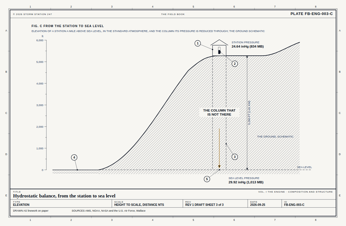
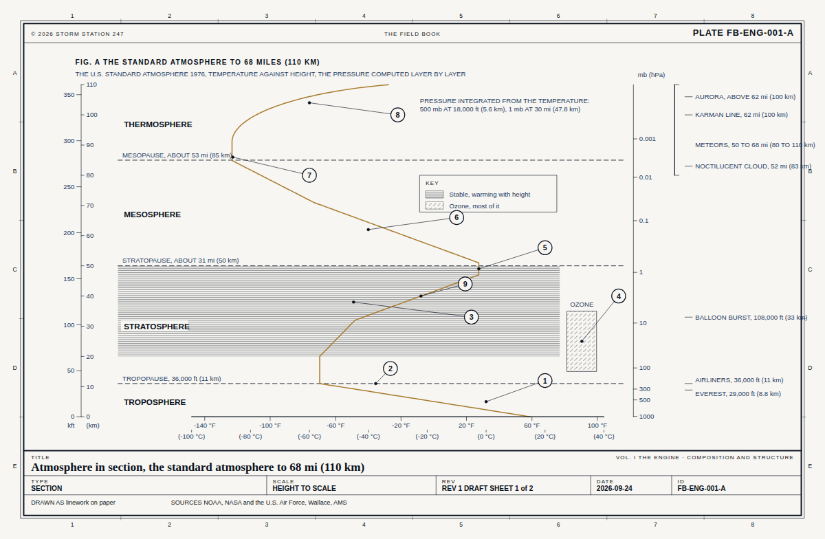
1The column

Contents

At 148 ft above sea level, 1 per cent of the atmosphere's air lies below the station. The standard atmosphere puts the pressure there at 29.76 inHg and the temperature at 58.5 F.

Section from sea level of where Deep Bayou near Star City stands in the atmosphere, height to scale: the station 148 feet above sea level with 1 per cent of the air below it; the standard atmosphere's pressure there, 29.76 inches of mercury, and temperature, 58.5 degrees Fahrenheit.1122334455667788AABBCCDDEE© 2026 STORM STATION 247THE FIELD BOOKSTATION REPORT 07364130FIG. D WHERE DEEP BAYOU NEAR STAR CITY STANDS IN THE ATMOSPHERESECTION FROM SEA LEVEL, HEIGHT TO SCALE, THE STATION IN THE STANDARD ATMOSPHEREFT ABOVE SEA LEVEL05,00010,00015,000SEA LEVEL, 29.92 inHg IN THE STANDARD ATMOSPHEREDEEP BAYOU NEAR STAR CITY1 PER CENT OF THE AIR BELOW IT148 FT10 PER CENT OF THE AIR BELOW, 2,890 FT20 PER CENT OF THE AIR BELOW, 6,050 FT30 PER CENT OF THE AIR BELOW, 9,540 FT40 PER CENT OF THE AIR BELOW, 13,470 FTSTANDARD PRESSURE HERE29.76 inHgSTANDARD TEMPERATURE HERE58.5 FTITLEDeep Bayou near Star City, the columnSTATION REPORT · DCP 07364130TYPESECTIONSCALEHEIGHT TO SCALEREVFROM THE REGISTER SHEET 1 of 3DATE2026-10-06IDSR-07364130-1DRAWN AS linework on paperSOURCES FB-ENG-001, FB-ENG-003

From the Field Book

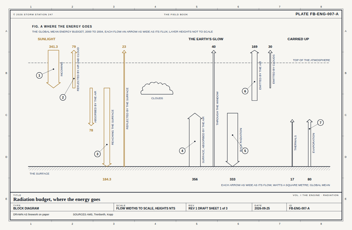
2The sun

Contents

On Oct 6 the noon sun stands 51 degrees above the horizon at 33.96 N, and the day is 11 h 31 min long. Level ground there takes 77 per cent of the noon sunlight a surface facing the sun would.
Elevation of the noon sun at Deep Bayou near Star City, angles true: on Oct 6 it stands 51 degrees above the horizon, against 79 at the June solstice, 56 at the equinoxes and 33 at the December solstice; the day is 11 h 31 min long.1122334455667788AABBCCDDEE© 2026 STORM STATION 247THE FIELD BOOKSTATION REPORT 07364130FIG. E THE SUN AT DEEP BAYOU NEAR STAR CITYELEVATION LOOKING WEST, SOUTH TO THE LEFT: THE NOON SUN ON THE DAY OF THE REPORT, AND AT THE SOLSTICES AND EQUINOXES; ANGLES TRUETHE STATIONJUNE SOLSTICE 79°EQUINOXES 56°DECEMBER SOLSTICE 33°OCT 6, 51°SOUTHANGLES TRUE; THE RAYS ARE OF ONE LENGTH AND DRAW DIRECTION ONLYDAY LENGTH 11 H 31 MINLEVEL GROUND TAKES 77 PER CENT OF THE NOON SUN A FACING SURFACE WOULDLATITUDE 33.96 N; THE SUN'S DECLINATION -5.3°TITLEDeep Bayou near Star City, the sunSTATION REPORT · DCP 07364130TYPEELEVATIONSCALEANGLES TRUEREVFROM THE REGISTER SHEET 2 of 3DATE2026-10-06IDSR-07364130-2DRAWN AS linework on paperSOURCES FB-ENG-007

From the Field Book

3The instrument

Contents

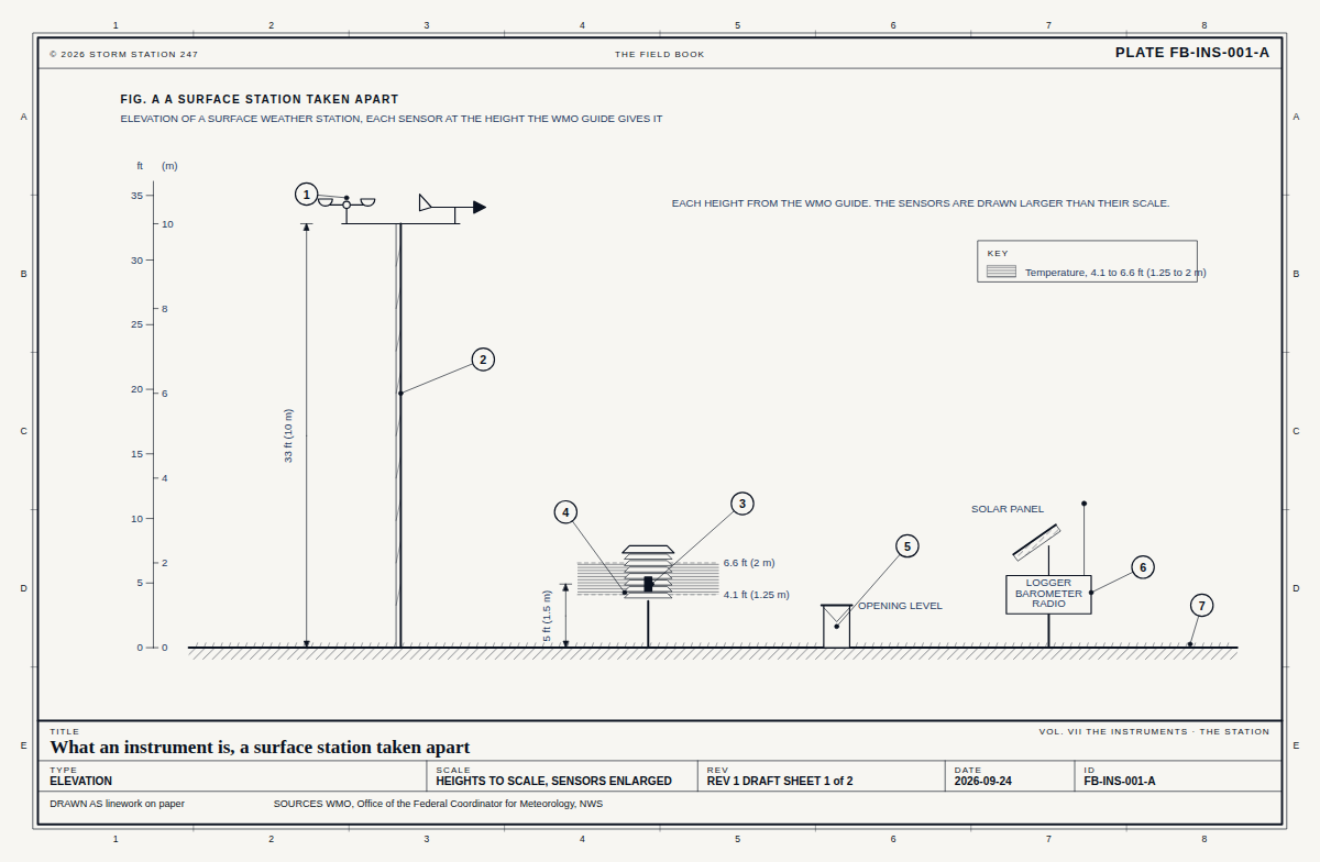
A data collection platform, 148 ft above sea level. Its sensors, as its network builds them.

Elevation of a data collection platform, Deep Bayou near Star City, each sensor drawn and labelled with what it read: no reading in the last day.1122334455667788AABBCCDDEE© 2026 STORM STATION 247THE FIELD BOOKSTATION REPORT 07364130FIG. F THE INSTRUMENTELEVATION OF A DATA COLLECTION PLATFORM, EACH SENSOR WITH WHAT IT READANTENNA, SENDING BY SATELLITE-AIR TEMPERATURE-PRECIPITATION GAUGE-SCHEMATIC; THE SPACING BETWEEN SENSORS IS NOT TO SCALETITLEDeep Bayou near Star City, the instrumentSTATION REPORT · DCP 07364130TYPEELEVATIONSCALESCHEMATICREVFROM THE REGISTER SHEET 3 of 3DATE2026-10-06IDSR-07364130-3DRAWN AS linework on paperSOURCES FB-INS-001

From the Field Book

Near Deep Bayou near Star City